The Malheur River Basin
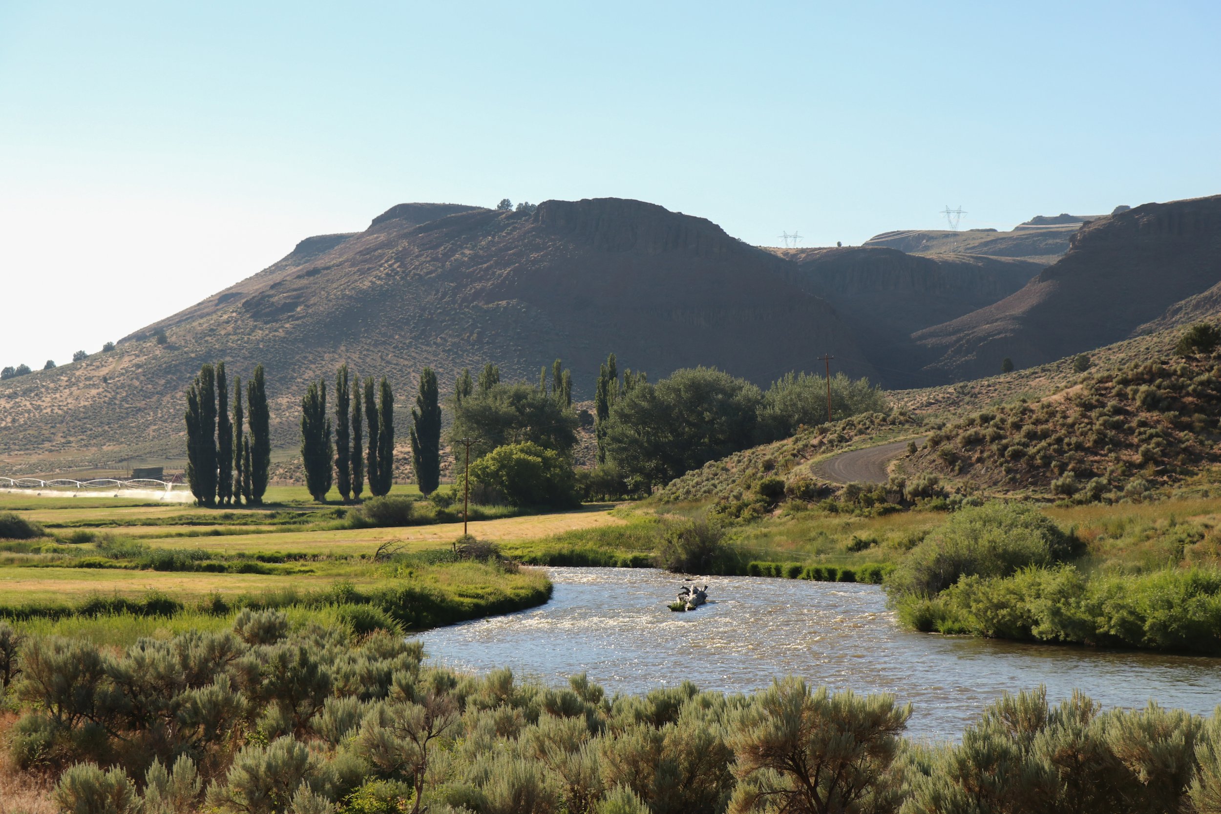
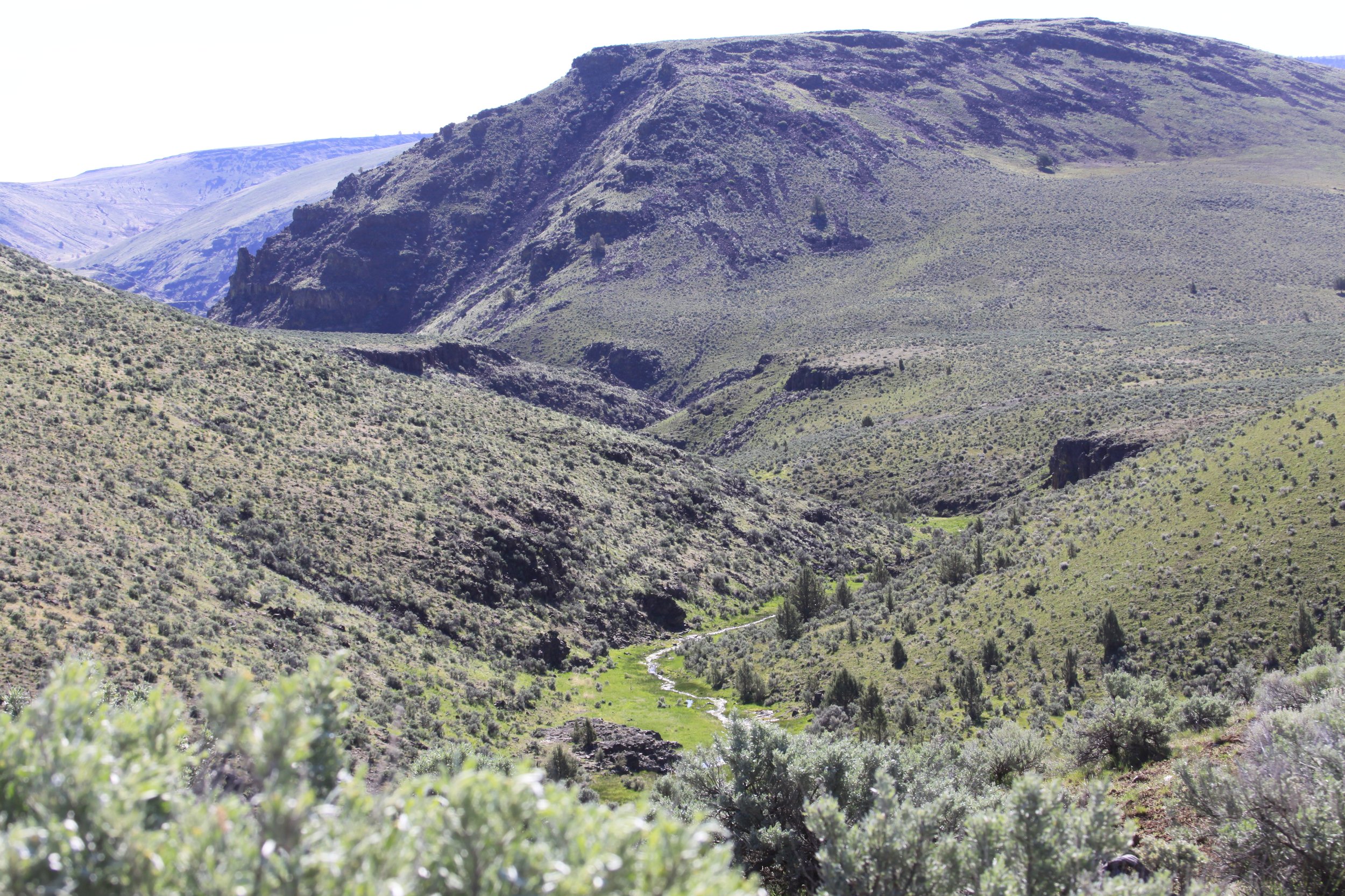
The Malheur River basin lies in east-central Oregon. The drainage area covers 4,610 square miles, with about 63% in Malheur County, 27% in Harney County, and small areas in Grant and Baker counties. The Malheur River is 190 miles long. Its headwaters are in the Strawberry Range at an elevation of about 7000 feet. The Middle Fork flows southeasterly for 65 miles, where it joins the South Fork and flows north for 19 miles to a junction with the North Fork at Juntura. Then the Malheur River flows northeasterly to its confluence with the Snake River at Ontario. The North Fork starts in Baker County and heads south toward Beulah Reservoir and on to Juntura. The South Fork originates above Venator in Anderson Valley country (Harney County) and flows north-northeast where it joins the Middle Fork near Riverside below Warm Spring Reservoir. The main stem of the Malheur River flows from Juntura to Ontario.
There are a number of reservoirs, including Warm Springs, 4400 acres; Agency Valley (Beulah), 1900 acres; Malheur (Willow Creek), 1240 acres; and Bully Creek, 985 acres. Explore them all on the map.
Explore the watershed here! You can switch the basemap to satellite imagery or other basemaps to fit your needs. Zooming in closer will reveal the names of rivers, creeks and streams.



Watershed is the lifeblood…
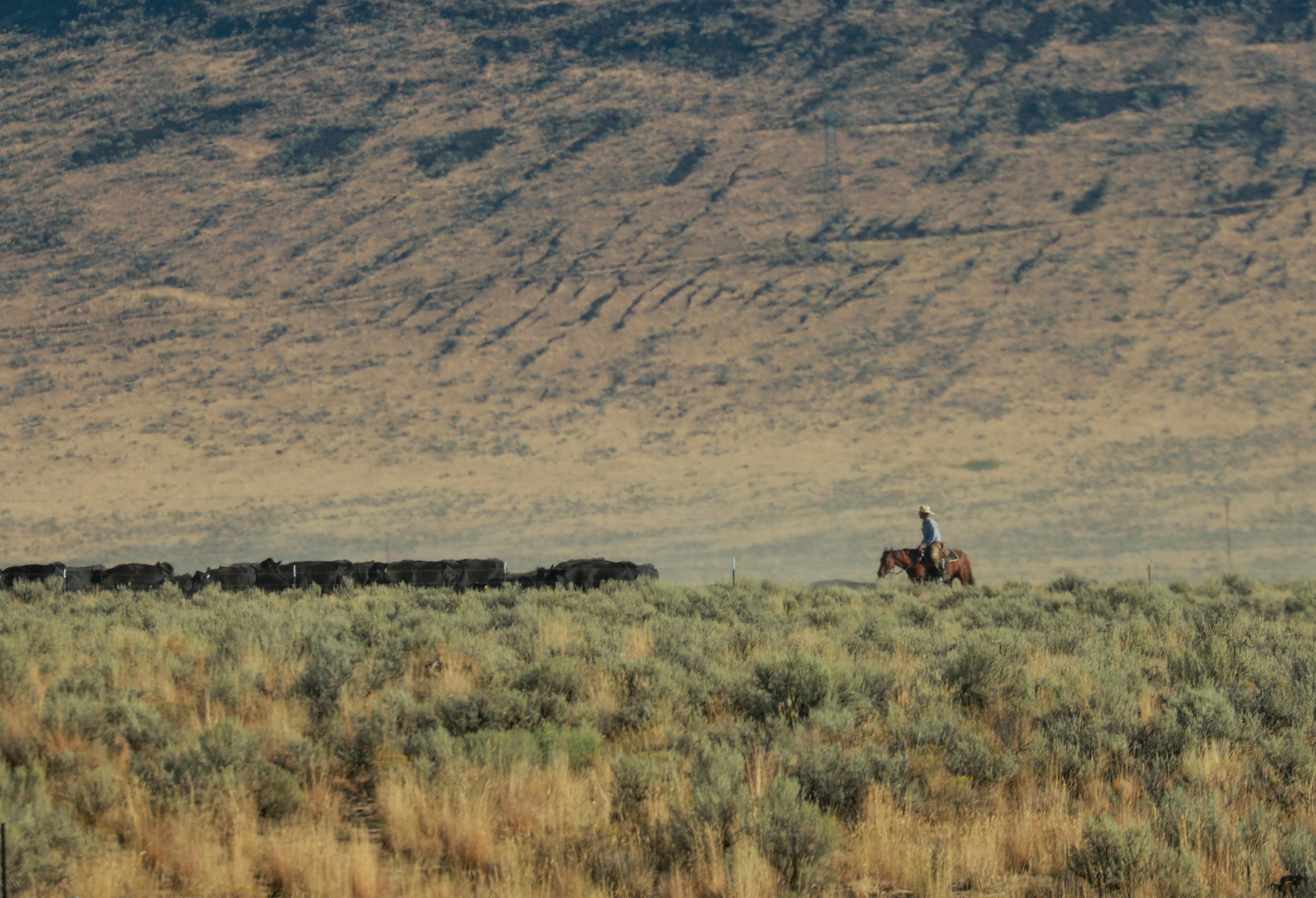
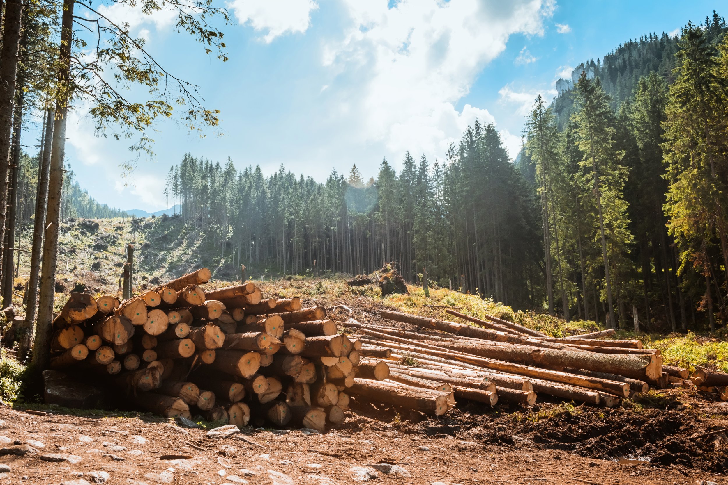
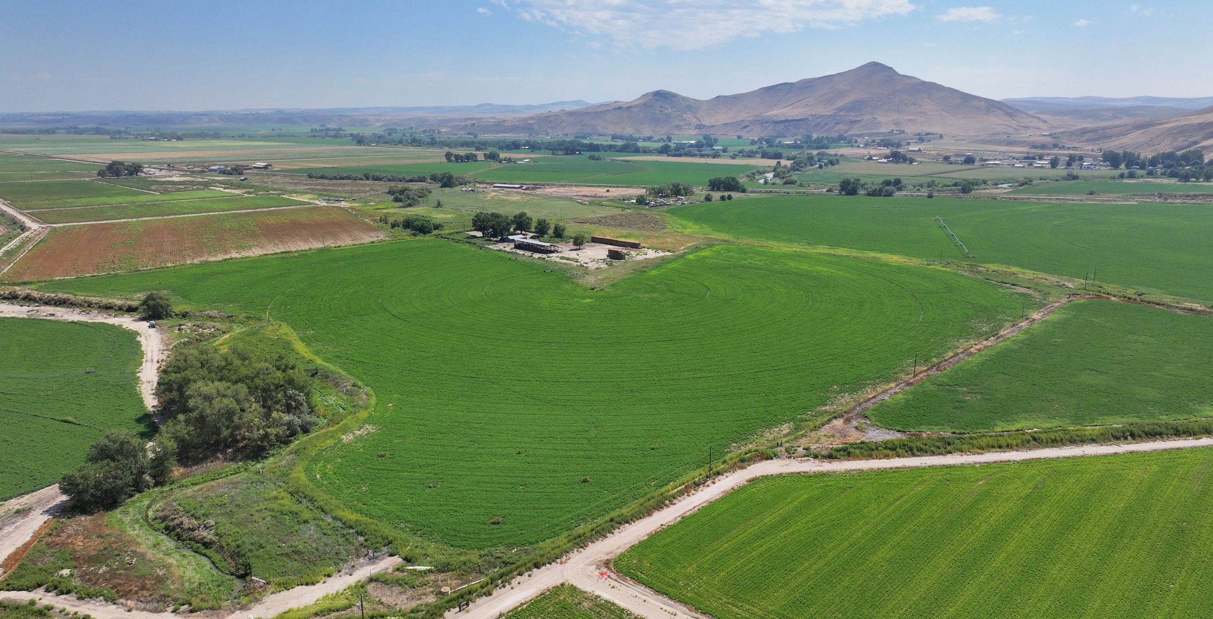
A watershed serves as the lifeblood of diverse industries and land uses - intricately interwoven with farming, ranching, timber production and harvest, and mining in the Malheur River Basin. A healthy watershed supports thriving industries and resilient communities by providing clean water, sustainable resources, and natural protection against disasters for the Basin.


